
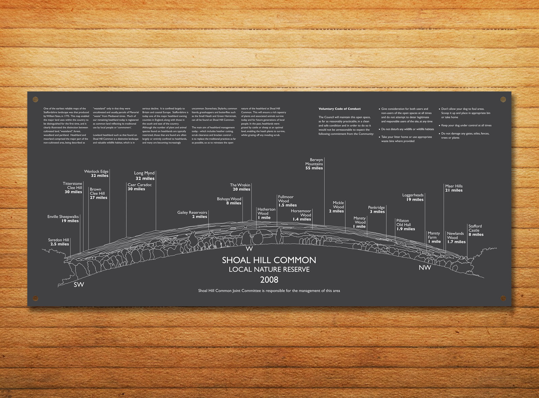
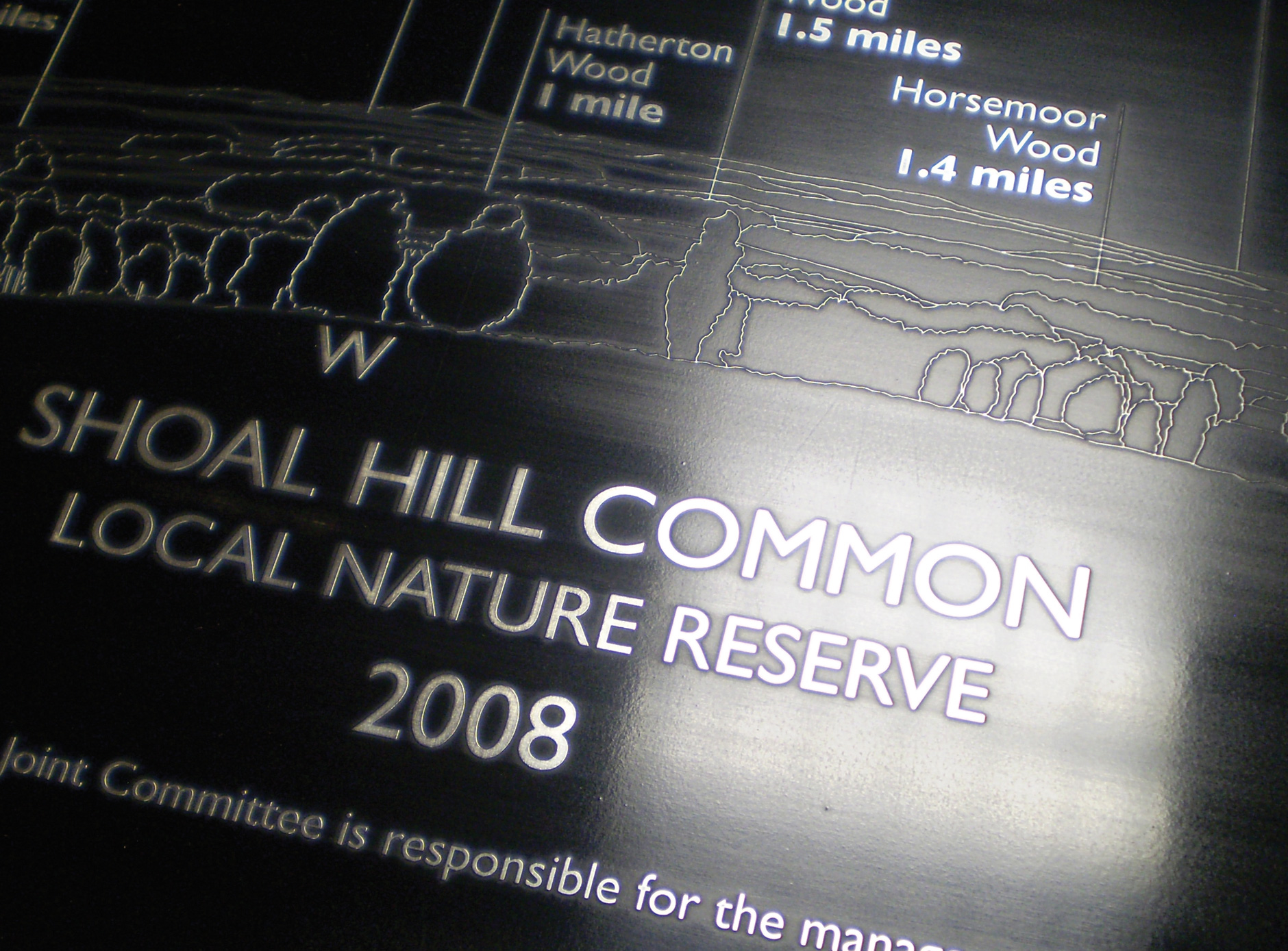

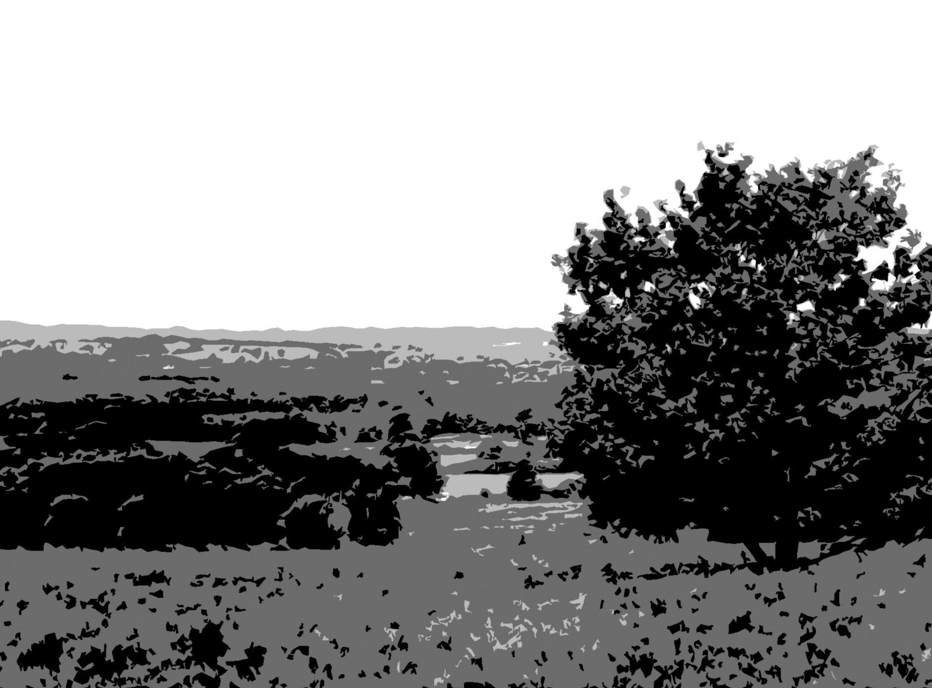
A spacial toposcope detailing all major visible landscape features installed at a nature reserve. Collaborating with a local historian, the sign was based on a panoramic image of the area then transformed into a curvature line illustration, being in relation to a lens of an eye. This was then laser cut in alumunium and attached to the dedicated plinth.